Abstract/Executive Summary
Urban Heat Islands (UHIs) represent a critical climatic phenomenon where urban environments exhibit elevated temperatures relative to surrounding rural areas, exacerbating local heat stress and influencing regional weather patterns. This article synthesizes foundational concepts, mechanisms, applications, challenges, and future directions in UHI research, emphasizing quantitative analyses and comparative insights. Key findings highlight UHI intensity peaks during nocturnal periods, driven by impervious surfaces and anthropogenic emissions, with implications for urban sustainability and public health. Mitigation strategies, including green infrastructure, show promise in attenuating UHI effects, though persistent challenges in data scalability and equity demand innovative interdisciplinary approaches.
Introduction
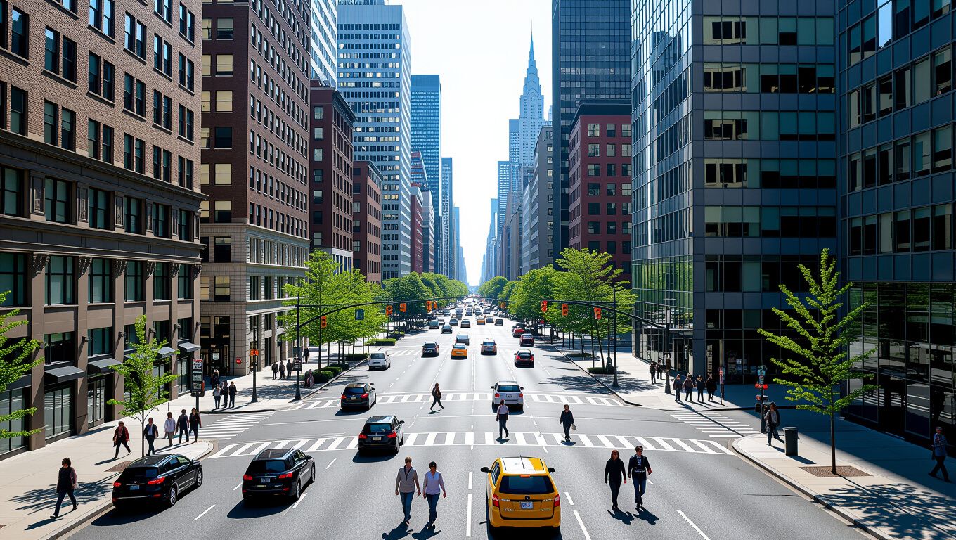
Urban Heat Islands (UHIs) emerge as a hallmark of anthropogenic modification to the urban thermal environment, characterized by sustained temperature differentials between densely built urban cores and less developed peripheries. First quantified in the early 19th century through observations in London, UHIs have intensified with global urbanization, now affecting over 55% of the world’s population residing in cities. This phenomenon manifests as both surface UHI (SUHI), measured via land surface temperature (LST), and canopy-layer UHI (CLUHI), assessed through air temperature sensors, with magnitudes ranging from 1–12°C depending on city size, morphology, and meteorology. The introduction of UHIs underscores their role in amplifying heatwaves, elevating energy demands for cooling, and altering urban microclimates, necessitating a comprehensive examination of their dynamics for resilient urban planning.
Foundational Concepts
At the core of Urban Heat Islands (UHIs) lie principles of urban-rural thermal contrast rooted in surface albedo, evapotranspiration, and heat storage capacity. Rural landscapes, dominated by vegetation, facilitate cooling through transpiration and high albedo from natural soils, whereas urban fabrics prioritize low-albedo materials like asphalt and concrete, which absorb up to 95% of incoming solar radiation. UHIs are quantified via the Urban Heat Island Intensity (UHII), defined as ΔTu-r = Turban – T_rural, where peak values often exceed 5°C in mid-latitude cities during clear summer nights. Foundational distinctions include daytime SUHI dominance from solar trapping and nocturnal CLUHI persistence due to delayed radiative cooling, influenced by the urban boundary layer’s reduced sky view factor (SVF). These concepts frame UHIs as a scalable effect, correlating positively with impervious surface fractions exceeding 30%.
Mechanisms & Analysis
Mechanisms driving Urban Heat Islands (UHIs) encompass anthropogenic heat fluxes, reduced latent heat partitioning, and three-dimensional urban canyon geometries. Anthropogenic sources, including vehicular emissions and building HVAC systems, contribute 20–50 W/m² to urban sensible heat, analyzed through energy balance equations: Q* + Qf = QH + QE + ΔQA + ΔQS, where Qf denotes anthropogenic forcing elevating UHII by 1–3°C. Impervious surfaces diminish evapotranspiration (QE < 10 W/m² in urban vs. 100+ W/m² rural), redirecting energy to sensible heat (QH). Morphometric analysis via sky view factor (SVF < 0.3 in dense cores) and building height-to-width ratios (H/W > 2) traps longwave radiation, modeled using ENVI-met simulations showing UHII amplification by 40% in high-rise districts. Empirical analyses from Landsat-derived LST reveal seasonal UHII peaks (up to 10°C in megacities like Tokyo), corroborated by eddy covariance flux towers quantifying nocturnal heat storage release (ΔQ_S > 200 MJ/m²/day).
Applications & Implications
Applications of Urban Heat Islands (UHI) research inform urban design paradigms, public health interventions, and climate adaptation strategies. In urban planning, cool roofs and green roofs attenuate SUHI by 1–2°C via enhanced albedo (0.6–0.8) and evapotranspiration

, as demonstrated in Los Angeles retrofit projects reducing peak LST by 2.5 K. Health implications of UHIs include heightened heat-related mortality (odds ratio 1.14 per 1°C UHII rise during heatwaves), prompting early warning systems integrating UHI forecasts. Energy implications manifest in 10–20% surges in cooling demands, analyzed through building energy models linking UHII to increased HVAC loads. Broader implications tie UHIs to regional climate feedbacks, where urban plumes enhance convective precipitation by 5–15%, influencing metropolitan water cycles and amplifying global warming through localized radiative forcing.
Challenges & Future
Challenges in addressing Urban Heat Islands (UHIs) include heterogeneous measurement scales, socioeconomic inequities, and climate non-stationarity. Remote sensing via MODIS/ASTER LST products suffers from emissivity uncertainties (±1.5 K), while in-situ networks undersample intra-urban variability, hindering robust UHII mapping. Equity challenges arise as low-income neighborhoods exhibit 2–4°C higher UHII due to reduced greening, exacerbating vulnerability. Future directions emphasize machine learning fusion of multi-sensor data (e.g., Sentinel-3 with citizen science), projecting UHII intensification by 1–3°C under RCP8.5 scenarios. Innovative mitigations like district-scale blue-green corridors and dynamic shading via smart materials promise 20–50% UHII reductions, with interdisciplinary research prioritizing longitudinal studies on UHI evolution amid densification and decarbonization.
Comparison Table
| Aspect | Rural Areas | Urban Cores (High UHI) | Suburban Zones (Moderate UHI) | Mitigation Potential |
|————————-|——————————|—————————–|——————————-|———————-|
| UHII Magnitude (°C)| 0 (baseline) | 5–12 (nocturnal peak) | 1–5 (diurnal) | -2 to -5°C |
| Albedo | 0.2–0.3 (vegetated) | 0.1–0.15 (asphalt/concrete)| 0.15–0.25 (mixed) | +0.2–0.4 (cool materials) |
| Evapotranspiration (W/m²) | 80–150 | <20 | 20–60 | +50–100 |
| Anthropogenic Heat (W/m²) | <5 | 30–100 | 10–40 | -10 to -50 |
| SVF | 0.9–1.0 | 0.1–0.4 | 0.5–0.8 | +0.2–0.5 (greening) |
| Example Cities | Rural outskirts (e.g., Phoenix periphery) | Tokyo, Phoenix core | London suburbs | N/A |
This table compares Urban Heat Island (UHI) characteristics across land-use gradients, highlighting mitigation potentials derived from empirical studies.
Conclusion
Urban Heat Islands (UHIs) encapsulate the thermal imprint of urbanization, with mechanisms rooted in material properties, geometry, and emissions yielding profound applications in sustainability and health resilience. Synthesizing analyses reveals UHII as a modifiable forcing, where targeted interventions like vegetation augmentation and high-albedo surfacing offer viable pathways to temper intensities. Persistent challenges underscore the imperative for scalable monitoring and equitable strategies, positioning UHI research at the vanguard of adapting cities to escalating climate pressures. Ultimately, mitigating UHIs demands integrated urban policies to foster thermally equitable metropolises.